T10 Super Typhoon Saola Batters Hong Kong

Surely influenced by the Hello Hong Kong marketing campaign, Super Typhoon Saola saw the HK Observatory raise the T10 storm signal for just the 16th time in over 100 years as Saola’s wind speeds topped 220km/h (135 mph).

Super Typhoon Saola

IMG_9173

IMG_9189

IMG_9443

IMG_9398

Click on any photo to see the full gallery of images.

IMG_9385

IMG_9279

IMG_9235

IMG_9334

IMG_9345

IMG_9353

There is Potential for Rain and Bad Weather Tomorrow…

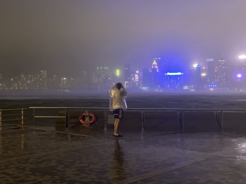
Here are some more tips to avoid the worst of the weather at your personal picnic or yoga practice in Tamar Park – courtesy of Dave Coulson

Bring an umbrella, and extra water to stay hydrated as it will be hot and humid.

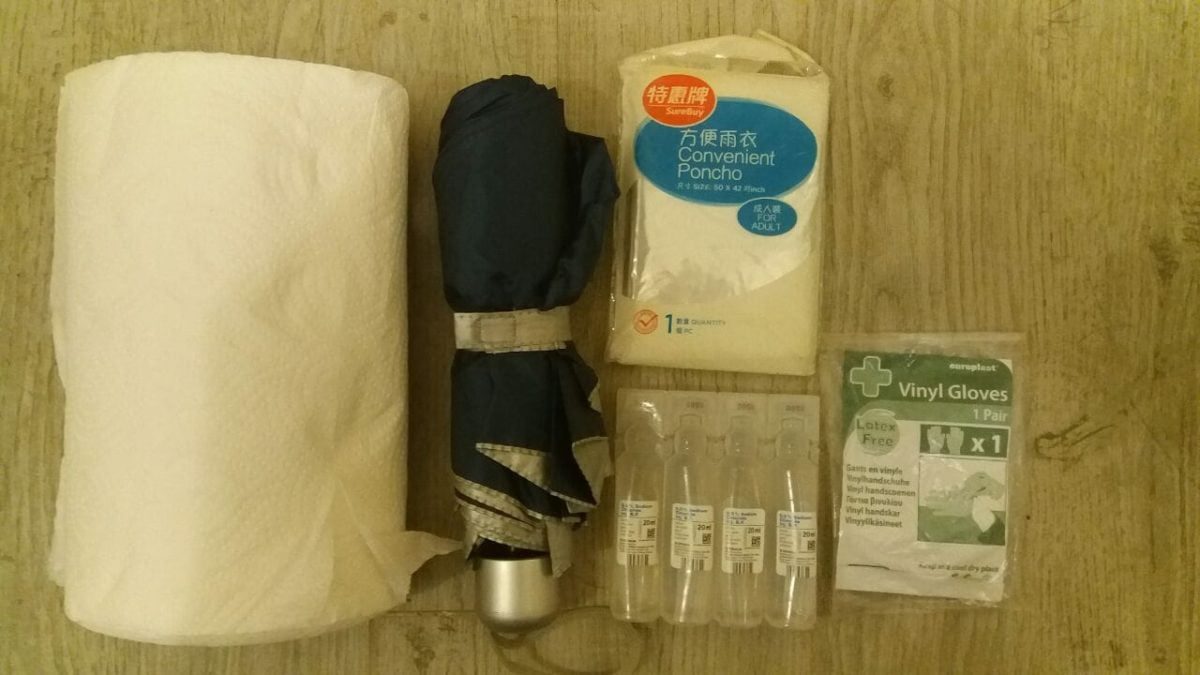
Pepper Spray: Do / Dont’s

DO wear latex gloves at all times. It is easier to change gloves than wash hands.

If you get sprayed DON’T wash your face or hair with water, it will just spread the chemical over a larger area of your body.

DO flush out your eyes with saline IT IS THE ONLY THING THAT WILL WORK, you need to open the eye lids and give the eyeball a good rinse.

DO use a paper towel to dab the face LIGHTLY and absorb the spray

DO wash your arms and hands with water

DON’T touch your face or take of clothes over your head, you will spread chemical back to your face.

DO suck it up, the effects wear off in about 15mins.

DO leave the area ASAP if the police are advancing or clearing an area they will not wait for you to give or receive treatment.

Say No to Extradition

What are Tropical Cyclones?

weather signals

Tropical cyclones are classified in accordance with the World Meteorological Organization’s recommendation by the maximum sustained wind speeds near the centre. In Hong Kong, the classification is defined in terms of wind speeds averaged over a period of 10 minutes as follows :

Tropical Cyclone Classification


Maximum 10-minute mean wind near the centre

Tropical Depression

up to 62 km/h

Tropical Storm

63 to 87 km/h

Severe Tropical Storm

88 to 117 km/h

Typhoon

118 to 149 km/h

Severe Typhoon

150 to 184 km/h

Super Typhoon

185 km/h or above

What do the HK Observatory Signals Mean?
1 – A tropical cyclone is centred within about 800 km of Hong Kong and may affect the territory.

3 – Strong wind is expected or blowing generally in Hong Kong near sea level, with a sustained speed of 41-62km/h, and gusts which may exceed 110km/h, and the wind condition is expected to persist.

8 – Gale or storm force wind is expected or blowing generally in Hong Kong near sea level, with a sustained wind speed of 63-117km/h from the quarter indicated and gusts which may exceed 180 km/h, and the wind condition is expected to persist.

9 – Gale or storm force wind is increasing or expected to increase significantly in strength.

10 – Hurricane force wind is expected or blowing with sustained speed reaching upwards from 118 km/h and gusts that may exceed 220 km/h.

Here’s a list of storms that have ‘hit’ Hong Kong since 2012
2012:
Doksuri (No.8)
Kai Tak (No.8)
Vicente (No.10)
2013:
Utor (No.8)
Usagi (No.8)
2014:
Kalmaegi (No. 8)
2015:
Linfa (No. 8)
2016:
Nida (No.8)

For the latest HK Weather news check the HK Observatory’s website